Explore Our Comprehensive Surveying Solutions

At 3D Capture, we offer a range of advanced surveying services designed to meet the diverse needs of our clients. From lidar and photogrammetry to bathymetric and laser scanning, our solutions provide precise and detailed data for any project.

Lidar

Capture high-resolution 3D data for topographical mapping.

Photogrammetry

Create 3D models from images for detailed analysis.
Precision Mapping

Advanced Lidar Technology for Surveying

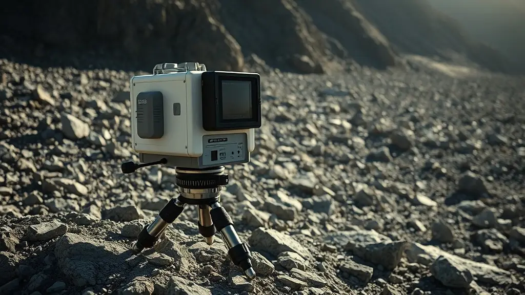
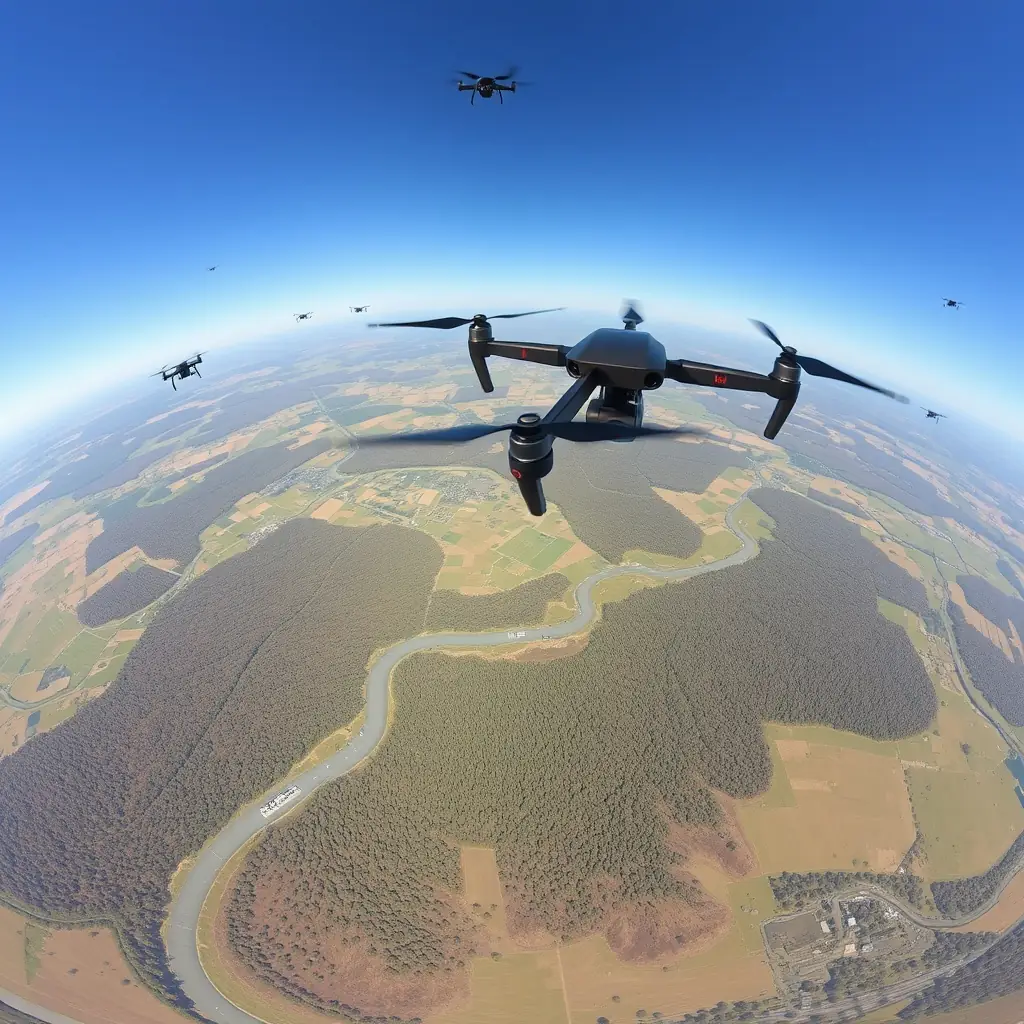
At 3D Capture, we utilize state-of-the-art lidar technology to deliver high-resolution 3D data. Our services are perfect for creating detailed topographical maps and models, ensuring accuracy and reliability for your projects. Trust us to transform your spatial data needs into reality.

Transforming Images into 3D Models with Photogrammetry

At 3D Capture, we utilize advanced photogrammetry techniques to convert images into precise 3D models. This method is ideal for documenting structures and landscapes, providing detailed spatial data for analysis and decision-making.
0 projects
Projects completed using photogrammetry technology.
0 %
Client satisfaction rate with our photogrammetry services.