Discover in 3D Surveying
At 3D Capture, we offer advanced surveying solutions utilizing the latest lidar, photogrammetry, hydrographic and laser scanning technologies. Our expertise ensures accurate and detailed 3D representations for projects across a variety of industries.
Our mission is to provide the highest quality surveying services to our clients by using the latest technology to deliver superior results. We are committed to integrity and conduct our business with honesty and transparency. By being client focused and prioritizing quality, our team is driven to work collaboratively with our clients to achieve their project goals.
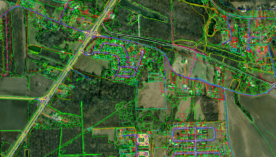

Airborne Lidar and Photogrammetry Services
3D Capture deploys Riegl LiDAR and Phase One technologies to deliver precise 3D models. Our services are ideal for terrain, corridor, and city mapping.
- Highly accurate 3D representations
- Cost-effective surveying solutions
- Versatile applications across industries
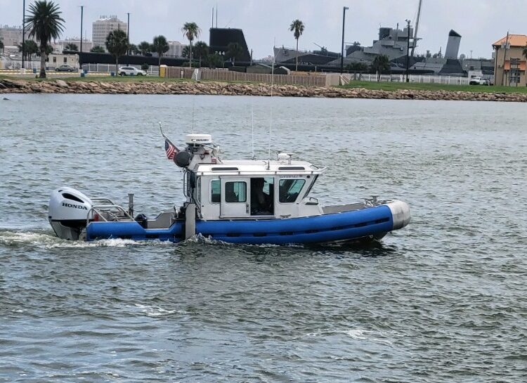
Hydrographic Surveying Solutions
At 3D Capture, we offer hydrographic surveying services that provide precise underwater measurements. Our team supports marine projects, environmental studies, and safe navigation by accurately mapping underwater features and depths.
Precision Mapping
Our surveys deliver accurate underwater topography, essential for marine planning and design.
Hydrographic Services
Multi-Beam Sonar, Single Beam Sonar, Sub-Bottom Profiler, Side Scan Imaging, and Magnetometry.
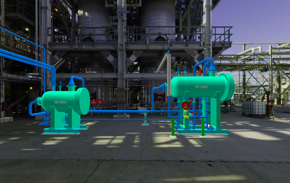
High Definition Laser Scanning Technology
Our laser scanning services offer unparalleled accuracy and efficiency, capturing millions of data points swiftly. Laser scanning is perfect for power, plant, utility, and construction for as-built documentation.
- Captures millions of data points in a short time.
- Provides a comprehensive model of complex environments.
- Facilitates better planning and decision-making in projects.