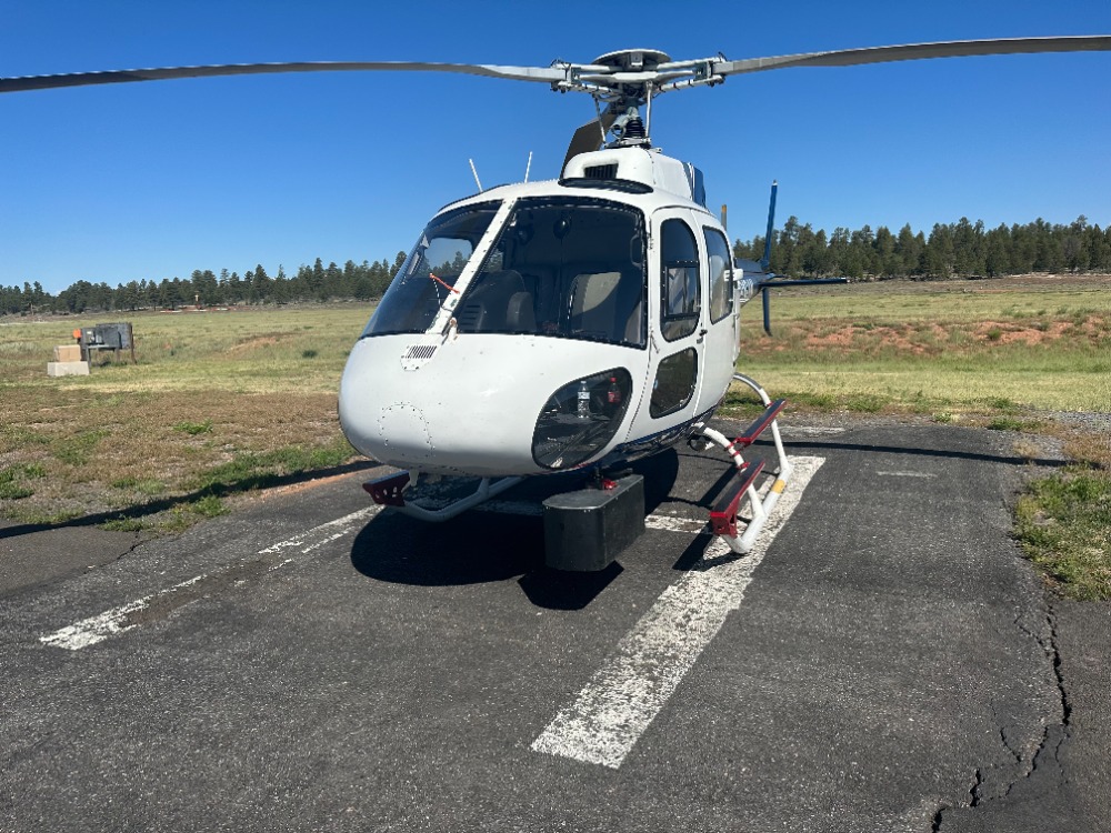
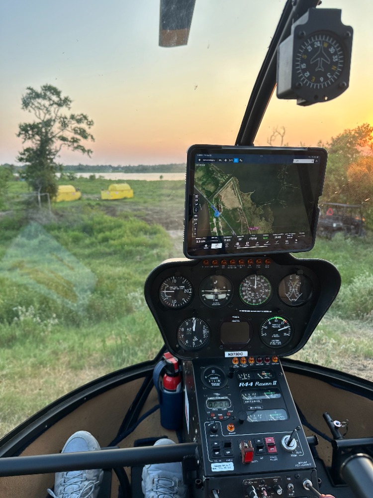
Our cutting-edge lidar technology captures high-resolution 3D data, providing accurate and detailed topographical maps. Ideal for complex terrains, it reduces time and costs compared to traditional methods.
Benefits of Lidar Surveying
High Accuracy
Our lidar technology provides highly accurate and detailed 3D representations, ensuring that every project meets the highest standards of precision and reliability.
Time Efficiency
By utilizing Lidar, we significantly reduce the time and costs associated with traditional surveying methods, allowing for quicker project turnaround.
Complex Terrain Analysis
Lidar surveying enables in-depth analysis of complex terrains and structures, making it an invaluable tool for projects that require detailed spatial data.