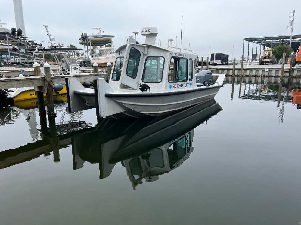
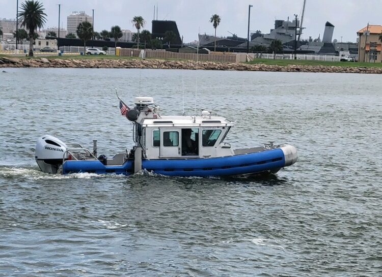
Discover how our bathymetric surveying services provide precise underwater measurements, essential for marine projects, environmental studies, and navigation. Our expertise ensures accurate mapping of underwater features, enhancing safety and supporting marine planning.
Benefits of Bathymetric Surveying
Precise Mapping
Our bathymetric surveying accurately maps underwater features and depths, providing essential data for marine projects and environmental assessments. This precision is vital for effective planning and execution.
Environmental Support
We support environmental assessments and marine planning, ensuring that your projects align with ecological standards and regulations. Our expertise helps in making informed decisions.
Safety Enhancement
Our services enhance safety for navigation and construction projects by providing detailed underwater topography. This information is crucial for avoiding hazards and ensuring successful operations.